

Global Mapper 16.0.0 Build 091714 (x86/x64)
Global Mapper 16.0.0 Build 091714 (x86/x64) | 113/106 Mb
Global Mapper is an affordable and easy-to-use GIS Data processing application that offers access to an unparalleled variety of spatial datasets and provides just the right level of GIS functionality to satisfy both experienced GIS professionals and mapping novices. Equally well suited as a standalone spatial data management tool and as an integral component of an enterprise-wide GIS, Global Mapper is a must-have for anyone who deals with maps or spatial data.
• Unmatched spatial data format support
• Low cost and easy-to-use
• Just the right level of GIS functionality
• Unmatched and complimentary support
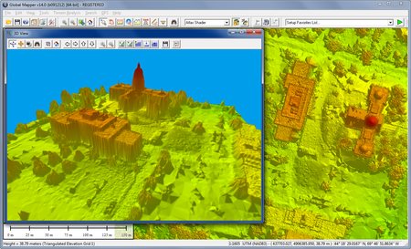
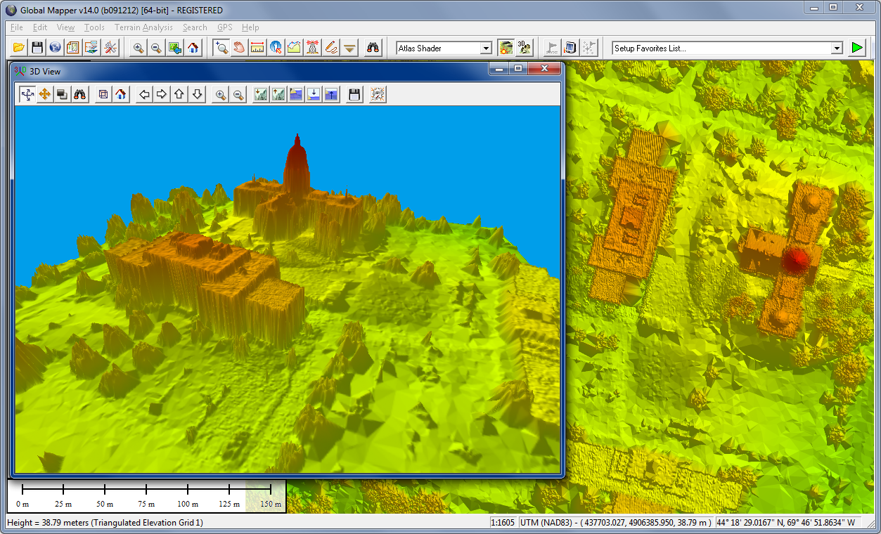
Global Mapper is more than just a utility; it has built in functionality for distance and area calculations, raster blending, feathering, spectral analysis, elevation querying, line of sight calculations, cut-and-fill volume calculations, as well as advanced capabilities like image rectification, contour generation from surface data, view shed analysis, watershed delineation, sea level rise modeling, terrain layer comparison, and triangulation and gridding of 3D point data. Global Mapper 15, released September 18th features a ton of great new functionality and is the largest Global Mapper release to date.
What's new in version 16.0.0:
- Significant New Features:
- Dramatically sped up many operations by making use of multiple cores. The following operations are now much faster in most cases:
- Contour Generation
- View Shed Calculation
- Gridding of 3D vector features
- Search by Attributes/Name
- Creation of area features from equal colors/elevation/slopes
- [LIDAR MODULE ONLY] Automatic classification of Lidar ground points (20X as fast or more)
- [LIDAR MODULE ONLY] Initial display of height-above-ground color for Lidar point clouds
- Reprojection of layers covering a large area of the world
- [LIDAR MODULE ONLY] Added option to automatically classify building and high vegetation (i.e. tree) points from a raw Lidar point cloud. This is a very powerful option on the Lidar toolbar (and via the LIDAR_CLASSIFY script command) that, combined with the existing (and much-improved) option to automatically classify Lidar ground points, allows automated classification of over 90% of ground, building, and high vegetation points from a raw Lidar point cloud.
- [LIDAR MODULE ONLY] Added option to automatically extract building outlines from classified Lidar point clouds. This is a very useful option on the Lidar toolbar that, combined with the automatic classification and manual cleanup tools, can allow very efficient extraction of 3D building outlines from Lidar point clouds.
- [LIDAR MODULE ONLY] Added option to automatically extract tree points/areas from classified Lidar point clouds. This is a very useful option on the Lidar toolbar that, combined with the automatic classification and manual cleanup tools, can allow very efficient extraction of tree points (with crown height and width attributes) as well as approximate tree coverage areas from Lidar point clouds.
-[LIDAR MODULE ONLY] Added options to filter Lidar points by class/elevation/color/scan-angle/source-ID/etc. when exporting, gridding, and selecting from point clouds.
- Added option to plan and record a 3D fly-through as a video file. New toolbar buttons on the 3D dialog allow setting up and recording a high-definition 3D fly-through.
- Support rendering textures on 3D polygons in the 3D view. This allows for the creation of photo-realistic 3D model views when loading 3D data that has texture images included. There is a drop-down on the 3D toolbar to select the Skybox background for the 3D display.
- Added a Graph and Chart Manager under the Analysis menu to allow creating graphs and charts from loaded data. The following type of operations are supported:
- Bar graph, histogram, line chart, or bar chart from any attribute field in loaded vector layers.
- Histograms for gridded terrain layers (i.e. DEMs)
- You can save the graph to a BMP file and place it on the map as a fixed screen position layer.
- Graph definitions are saved in the workspace file for easy saving and sharing.
- Added option to export selected layers with new right-click option in Control Center. This finally lets you easily export just one or more layers without having to disable the others, export, and then re-enable them.
- Added built-in streaming online ASTER GDEM v2 worldwide terrain data set at higher resolution (just over 30 meters) and from a much faster/more reliable server than the previous streaming ASTER GDEM v1 data set.
- Removed GEM module. All functionality that was present with the GEM add-on module is now part of the base package.
- Added new GeoCalc toolbar to access Blue Marble’s Geographic Calculator coordinate transformation library if you have that installed. The new toolbar has buttons to enable/disable GeoCalc projections and settings and also a dedicated button to launch the Geographic Calculator.
- Fixed security issue with MAPI.DLL. Secunia Advisory SA 51510/CVE-2013-0727.
Home Page - http://www.globalmapper.com