

Pythagoras 12.26
Pythagoras 12.26 | 56.1 Mb
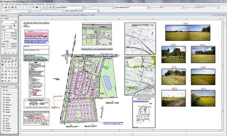
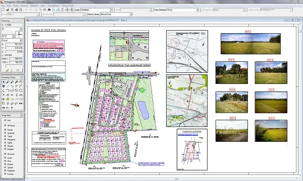
A state-of-the art CAD software for land surveying and civil engineering. It is one of the most powerful and intuitive applications ever designed. Specialized drawing tools, cogo functions and design tools are all tightly integrated in a complete standalone package that runs on PC. It's easy to use, so you'll be up and running in no time. Pythagoras CAD+GIS, developed by Pythagoras BVBA, is a modern CAD-program specially designed for topographical applications (land surveying, road design, city planning), integrating the calculation and drawing functions required for these tasks. Pythagoras CAD+GIS uses the newest software techniques like, intelligent snapping, indicating geometric relations and context sensitive input fields. These techniques make the program very user friendly and even casual users can reach a high degree of productivity.
Pythagoras CAD+GIS is available in different modules:
- Pythagoras CAD+GIS base
- This basic module contains the Pythagoras CAD engine, drawing tools, COGO functions and many more items.
- Pythagoras CAD+GIS geocoding
- While importing the survey data, Pythagoras generates your drawing automatically based on the point codes used in the field.
- Pythagoras CAD+GIS Digital Terrain Model (DTM)
- Based on a digital terrain model, Pythagoras generates contour lines, profiles and cross sections, calculates volumes and 3D areas.
- Pythagoras CAD+GIS Road Design
- An integrated module in Pythagoras to be used for road constructions and all relevant calculations like cut & fill, profiles and cross sections.
- Pythagoras CAD+GIS Raster Images
- Allows the import of raster images and some relevant operations.
- Pythagoras CAD+GIS Pro
- This module contains the options GIS and VBA.
Home page - http://www.pythagoras.net/
No mirrors please