

Avenza Geographic Imager v3.1 for Photoshop CS3, CS4 & CS5

Avenza Geographic Imager v3.1 for Photoshop CS3, CS4 & CS5 | 122.3 MB
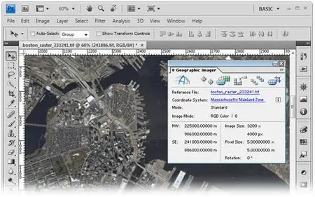
Enhances Adobe Photoshop to make working with spatial imagery quick and efficient. It adds tools to import, edit, manipulate and export geospatial images.
Features:
* Georeference – Georeference images easily by adding ground control points.
* Import – Any image format that can be opened and displayed by Adobe Photoshop can form the basis for a spatial image.
* Transform – Extensive support for thousands of geographic and projected coordinate systems. Easily transform between geodetic and projected coordinate systems.
* Mosaic and Tile – Snapping images together not working? Mosaic individual images to create a seamless image. Mosaicked images retain spatial referencing and can be individually modified using Adobe Photoshop tools and transformed using Geographic Imager.