

Geocap ver. 4.2.60

Geocap ver. 4.2.60 | 50 MB
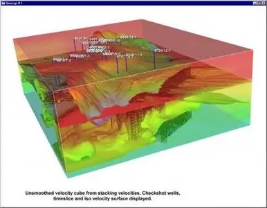
Geocap is our main software product. It is used for mapping and modeling of surface structures like reservoir horizons and seabed and continental shelf structures. Input to modeling can be seismic and sonar data, well data and faults or in general any surface information. Having modeled the structures, a lot of calculations can be performed: volumetrics, drainage areas, attribute maps, extremal values, cross sections and much more. The system is frequently used in large-scale studies in concession rounds or seabed and continental shelf studies.