

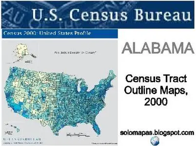
USA CENSUS / Census Tract Outline Maps, 2000 / Alabama

USA CENSUS / Census Tract Outline Maps, 2000 / Alabama
PDF | 428 PDF MAPS | 2000 | 75MB | ENGLISH
PDF | 428 PDF MAPS | 2000 | 75MB | ENGLISH
For each county or statistically equivalent entity, the Census Bureau's block maps show the greatest detail and most complete set of geographic information. These large scale maps depict the smallest geographic entities for which the U.S. Census Bureau presents data - the census block - by displaying the features that form block boundaries and the numbers that identify them. The intent of this map series is to produce a map for each county, on the smallest possible number of map sheets, at the maximum practical scale. The maps show the boundaries, names and codes for American Indian areas/Alaska Native areas/Hawaiian home lands, county sub-divisions, places, voting districts, census tracts, block groups, and census blocks.