

Applied Imagery Quick Terrain Modeller 8.2.0.0
Applied Imagery Quick Terrain Modeller 8.2.0.0 | 627.8 mb
The Applied Imagery Team announced a major new release of its flagship product, Quick Terrain Modeller 8.2.0.0, the world's premier 3D point cloud and terrain visualization software package.
What’s New for Quick Terrain Modeler Version 8.2.0.0:
Brief overview of QT Modeler v8.2.0 upgrades and changes including new coordinate conversion/vertical datum transformation tools, upgrades to caching and indexing, new vector file formats (GeoJSON, OSM), LAS Extrabyte support, and much more!

Applied Imagery Quick Terrain Modeller 8.2.0.0
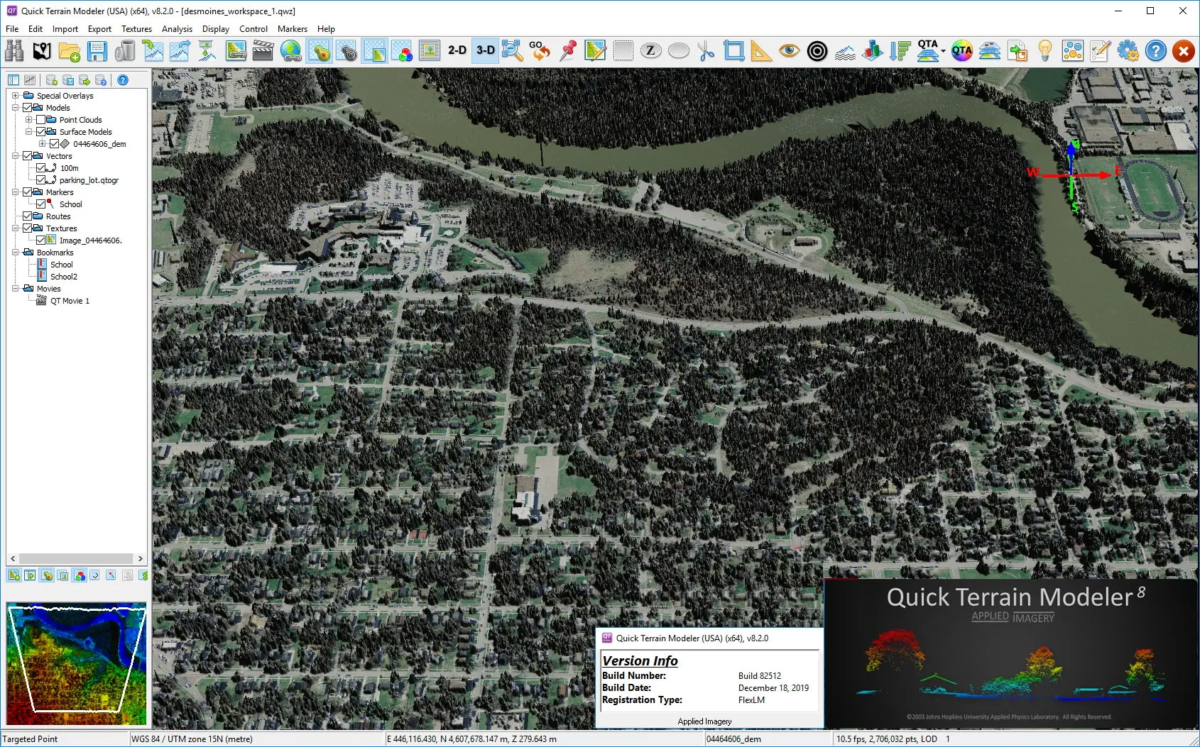
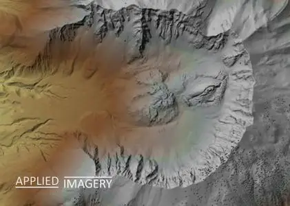
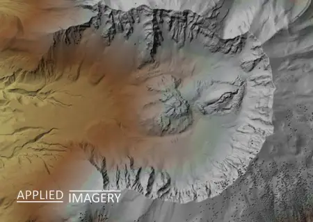
Quick Terrain Modeller is the world’s premier 3D point cloud and terrain visualization software package. Designed for use with LiDAR, but flexible enough to accommodate other 3D data sources, Quick Terrain Modeler provides an easy to use software experience that allows users to work with significantly more data, render larger models, analyze data faster, and export a variety of products. These benefits enable very powerful, yet simple and intuitive, terrain exploitation.
Applied Imagery Team was founded in 2004 in Silver Spring, MD, a suburb of Washington, D.C., to commercialize software developed at Johns Hopkins University's Applied Physics Lab (APL). Our commercial, off-the-shelf (COTS) software, the Quick Terrain Modeler, is the world's premier 3D point cloud and terrain visualization software package. Quick Terrain Modeler is focused on DoD and civilian applications and continues to evolve based on customer feedback.
Product: Applied Imagery Quick Terrain Modeller
Version: 8.2.0.0 (build 82512) USA Edition
Supported Architectures: x64
Website Home Page : http://appliedimagery.com/
Language: english
System Requirements: PC *
Supported Operating Systems: *
Size: 627.8 mb
Note: It's the USA Version which got no restrictions compared the International Version (because of security laws)
Overview of system requirements and recommendations for running Quick Terrain Modeler.
Please visit my blog
Added by 3% of the overall size of the archive of information for the restoration
No mirrors please

![Applied Imagery Quick Terrain Modeller 8.2.0.0]()
Added by 3% of the overall size of the archive of information for the restoration
No mirrors please
Applied Imagery Quick Terrain Modeller 8.2.0.0
