


CompeGPS Land 6.60
CompeGPS Land 6.60 | 17,7 MB
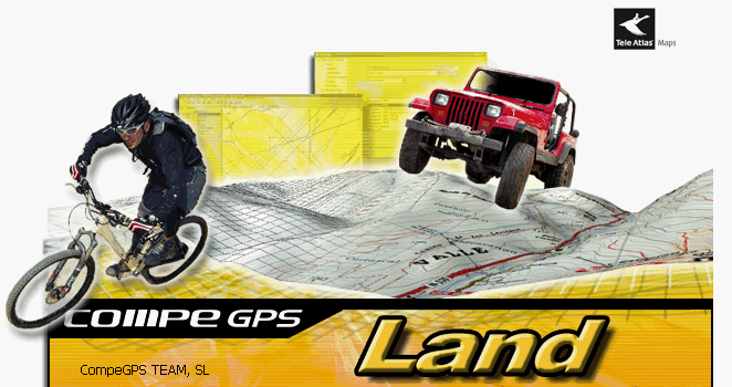
CompeGPS Land is the software that will let you take the most of your outdoor trips. Its great variety of preparing, navigating and analysing tools is the perfect basis for any amateur or professional of outoor sports (trekking, mountain or racing bike, 4X4, skiing, etc.) to obtain the best efficiency and loads of fun. Visualize digital maps, download them freely from Internet or calibrate paper maps and manage all the necessary information for your trips over them. Create routes, tracks or waypoints and analyze the outcome of your work in the most detailed way. In addition to this, the 3D mode will show you the most realistic and spectacular view of it all so you can feel like your were actually outdoors.
Basic functions
* Digital map visualization in a lot of formats (see more information about maps).
* Free map downloading from Internet
* Map calibration so you can digitize the paper maps that you may have.
* 3D landscapes from around the World freely downloadable.
* Last generation 3D Viewer to work in a more spectacular and realistic way.
* Creation, edition and animation of waypoints, routes and tracks.
* Live navigation with the moving map mode (portable computer).
* Compatibility with most of the available GPS to receive of tracks, routes and waypoint.
Advanced functions
* Vectorial maps viewing and editing compatible with several vectorial formats (including DXF and DWG by means of AutoCAD plugin).
* Evolved graph system.
* Track book to put in order all of your trips, know your statistics and control your progression.
* Track Server to share trips with other users.
* Scan maps function to visualize the borders of all maps you have available and open the best for at that moment.
* Dynamic window system and Data tree.
* Many coordinates, datum and formats.
* Advanced transparency system to combine the information of several maps.
* Import TXT files (waypoints, tracks…)