

GARMIN MAPSOURCE BLUECHART ATLANTIC ver. 7.5
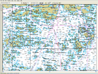
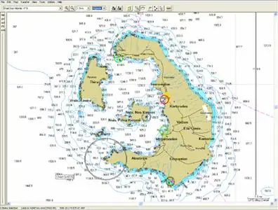
When displayed on a GARMIN chartplotter, BlueChart offers its users a paper chart-like appearance. This data includes shaded depth contours, inter-tidal zones, spot soundings, wrecks, navaids, port plans, restricted areas, cable areas, anchorages and more. BlueChart also includes chart numbers, name, scales, revision dates and Notice to Mariner dates.
BlueChart is designed to provide interactive viewing of detailed nautical chart data. BlueChart Marine Cartography is available in two formats: on MapSource CDROM and also on preprogrammed data cards. The CD provides the same detailed, object-oriented cartography as the preprogrammed data cards. GPS models that load map detail into internal memory require use of the CDROM product; models that use data cards for storage of map detail can utilise either format.
GARMIN MAPSOURCE BLUECHART ATLANTIC ver. 7.5
Version 7.5 Atlantic features include:
• NEW Includes Bloc Marine port services and Finnish Inland lakes
• NEW General update to all coverage areas to include latest Notice to Mariners and new chart editions
• Includes data from Reeds Almanacs
• Local charts for Croatia, Denmark, Faeroe Islands, Greenland, Iceland and Portugal
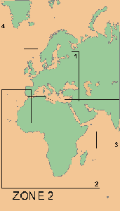
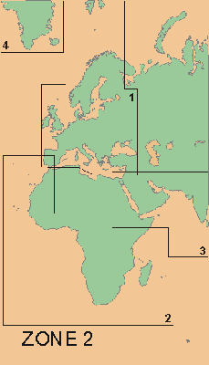
• Updated coverage of Africa, Europe and the Middle East
• Port services UK, Ireland, Sweden, Norway, Italy and Denmark
• Chart-specific information, including chart name, number, scale, revision date, latest Notice to Mariners date
• Trip and waypoint management function lets you transfer waypoints, routes and tracks between your GPS and your PC
• Faithful representation of published official paper charts
• Object-oriented cartography
• Shaded depth contours
• Intertidal zones
• Spot soundings
• Port plans
• Navaids with view range and coverage
• Tides, wrecks, restricted areas and anchorages
GARMIN MAPSOURCE BLUECHART ATLANTIC ver. 7.5

DOWNLOAD rapidshare (50MB PARTS):
PASSWORD:
AvaxHome.ru
PART 1
PART 2
PART 3
PART 4
PART 5
PART 6
PART 7
PART 8

GARMIN MAPSOURCE BLUECHART ATLANTIC ver. 7.5
