

Geopainting GPSMapEdit 1.0.65.0
Geopainting GPSMapEdit 1.0.65.0 | 3.43 MB
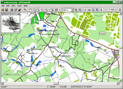
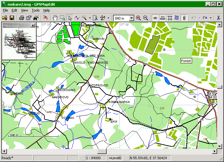
GPSMapEdit - this software is designed for visual authoring of GPS-maps in various proprietary cartographic formats such as Garmin, Polish format, ALAN Map 500/600, Holux, Navitel Navigator. GPSMapEdit is designed to help owners of Garmin, ALAN, Holux and Navitel Navigator. GPS receivers to create own maps. The software allows to quick loading and viewing vector maps in so-called \"Polish format\", comparing them with different geodetic data like raster maps, GPS tracks and waypoints. In addition, the software may be used for converting GPS-tracks, waypoints and routes among various formats. GPSMapEdit does not have installer now. The program installation does not require special efforts because the software is ready to run. Just download the latest version and unzip it into any suitable folder.
Features:
» Visualization of satellite images from Google Maps.
» Loading of huge raster maps (format OziExplorer MAP) - over 20-30 megapixels.
» Loading ECW and JPEG 2000 raster maps.
» Import from MapInfo MIF/MID.
» Export to MapInfo MIF/MID.
» Import POI from external table file with address data, the formats are: CSV, MS Excel XLS, MS Access MDB, dBase DBF, Paradox DB, Visual FoxPro.
» Splitting map to smaller files (the menu \'Tools | Split map to files…\').
» Saving to CRD format (ALAN Map 500 and Holux).
Whats New in GPSMapEdit 1.0.65.0
New feature: Automatic saving of map. Adjusted using menu item 'Tools | Options…', 'Load & Save' tab.
Current map xxx.MP with unsaved modifications is saved periodicaly to file xxx.AUTOSAVED.MP, which one is automatically deleted after each successfull saving of original xxx.MP. Before loading of xxx.MP, existence of newer xxx.AUTOSAVED.MP file is detected (indicating previous crashing of application), and it is renamed to xxx.MP by user's confirmation (while original file is renamed to xxx.BAK).
NOTE: This feature requires license key.
New feature: New concept "note drawing" is introduced: note drawing is free-hand drawing of any color and thickness, being non-"true" polyline, devoted to express some temporary visual notes for mapper's own needs.
To create a note drawing, please use menu item 'Tools | Create Object | Note Drawing'. Note drawings are stored only in MP files; they do not affect any "target" map formats to export (like .IMG or .NM2).
Enhancement: Showing outlined labels.
Fix: Loading geo-tagged Exif photographs with header in big endian format (thanks to Evgeniy Ukhanov).
Fix: Crash in 'Tools | Find by Address…' in some cases (thanks to Lesha37).
Fix: Crash in semi-automatic vectorizer in some cases (thanks to Roman Ryzhenko).
Fix: Splitting numbering along street by 'Split Polyline' in some cases (thanks to Gary Turner).
Enhancement: In 'File | Map Properties', 'Bounds' tab, showing map's extents is added (thanks to Gary Turner).
Enhancement: 4th step of the import wizard of shapefiles (.SHP) and MapInfo MIF/MID: the field "Scale Factor" is added, and the list of coordinate systems now supports "Transverse Mercator" explicitly.
In addition, the coordinate system "Map Grid of Australia" is added (as alias of "UTM South") (thanks to Chris Brown).
Enhancement: Adjusting proxy server for Google Maps (menu item 'Tools | Options…', 'Google Maps' tab) via launching corresponding control panel of Windows.
Enhancement: Adjusting bit rate of COM port for GPS receiver over NMEA-0183 protocol (menu item 'Tools | Options…', 'GPS Tracking' tab).