


Global Mapper 10.01
Global Mapper 10.01 | 40,5 MB
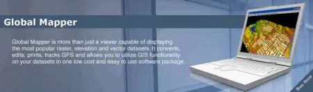
Global Mapper is more than just a viewer capable of displaying the most popular raster, elevation, and vector datasets. It converts, edits, prints, tracks GPS, and allows you to utilize GIS functionality on your datasets in one low cost and easy to use software package. Global Mapper also includes the ability to directly access the entire TerraServer database of USGS satellite imagery and topographic maps free of charge and to view elevation data in true 3D with any loaded raster imagery and vector data draped on top of it!
The results can be printed, or the workspace can be exported to a high resolution raster image for use in a presentation or report. Have you ever received a dataset that does not match the projection of your current project? Simply load the dataset into Global Mapper, change the projection, and save the file to match your coordinate system. If the dataset is larger than the area you are interested in, export the data using the crop feature and change the projection and format of the data at the same time.