


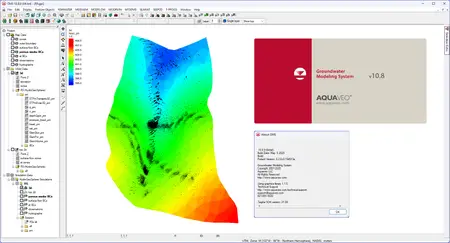
Aquaveo Groundwater Modeling System (GMS) 10.8.9
Aquaveo Groundwater Modeling System (GMS) 10.8.9 | 945.5 mb
Aquaveo, a water resources consulting company, is pleased to announce availability Groundwater Modeling System (GMS) 10.8.9 is the most advanced software system available for performing groundwater simulations in a three-dimensional environment.
What's New in GMS 10.8.9 - Date: May 21, 2025
Undefined
- 15484 Mesh grid nodes still getting displayed after user deletes them
- 15257 UZF Package THTI Flag Displays Values From Other Arrays, Instead of Its Own
- 15521 USG-Transport Erases Entered CONC Values in BCT Package
Dataset
- 15509 Mapping a Coverage to a Dataset Selects Cells Incorrectly
Notes
- 15420 Simulation links have notes tab in properties that shouldn't be there.
Online Maps
- 15413 Wisconsin County Projections Don't Allow Import of Wisconsin County Map Data
Display
- 15498 Isosurface options not getting displayed correctly
Rasters
- 15542 Trim Raster Issue
- 15549 Trim Raster Issue
- 15530 Problems displaying raster, image, and online image data near the north (or south) poles
- 15531 Problems displaying raster data near the north (or south) poles
MODFLOW-USG
- 15547 MODFLOW-USG Transport crashes when inactive cells in the BCT ICBUND are combined with the MDT package
MODFLOW6
- 14825 GMS 10.7: Save MODFLOW 6 copy creates UGrid at 0,0
- 15535 Can't import native MF6 Project Files
RT3D
- 15516 RT3D Out File Labels Layers Incorrectly
MODPATH
- 15586 Selecting "New MODPATH" Turns Off the MODPATH Menu
MODFLOW
- 15605 Using an Array for Starting Concentrations in the BCT Package Causes the Exe to Crash
- 15493 GMS is disabled after trying to create an invalid animation
Aquaveo Groundwater Modeling System (GMS) 10.8.9
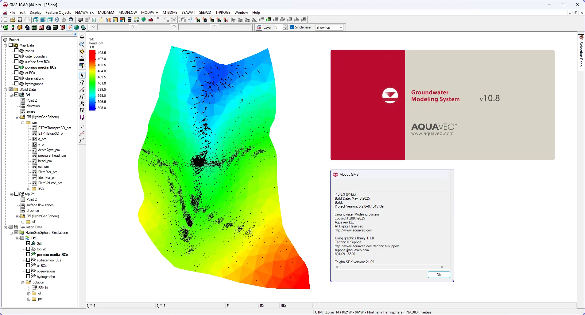
The Groundwater Modeling System (GMS) is a comprehensive graphical user environment for performing groundwater simulations. The entire GMS system consists of a graphical user interface (the GMS program) and a number of analysis codes (MODFLOW, MT3DMS, etc.). GMS was designed as a comprehensive modeling environment. Several types of models are supported and facilities are provided to share information between different models and data types. Tools are provided for site characterization, model conceptualization, mesh and grid generation, geostatistics, and post-processing.
GMS
Instructional videos for the Groundwater Modeling System (GMS) program developed by Aquaveo.
Aquaveo is a pioneer of GIS-based software solutions for hydraulic, hydrologic and groundwater modeling. Our products have been refined over two decades to create the most advanced environmental modeling and visualization software available. In addition to interfacing with industry standard numerical models, we develop custom desktop and cloud-based applications tailored to specific needs. Aquaveo began as a part of the Engineering Computer Graphics Laboratory at Brigham Young University in 1985. The lab was reorganized and the name was changed in September, 1998 to the Environmental Modeling Research Laboratory (EMRL). In April, 2007, the main software development team at EMRL entered private enterprise as Aquaveo, LLC.
Owner: Aquaveo
Product Name: Groundwater Modeling System (GMS)
Version: 10.8.9 Premium
Supported Architectures: x64
Website Home Page : www.aquaveo.com
Languages Supported: english
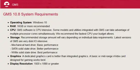
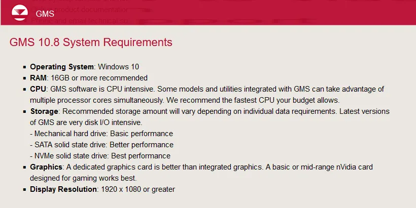
System Requirements: Windows *
Size: 945.5 mb
Aquaveo Groundwater Modeling System (GMS) 10.8.9
Please visit my blog
Added by 3% of the overall size of the archive of information for the restoration
No mirrors please

![Aquaveo Groundwater Modeling System (GMS) 10.8.9]()
Added by 3% of the overall size of the archive of information for the restoration
No mirrors please
Aquaveo Groundwater Modeling System (GMS) 10.8.9
