Tags
Language
Tags
June 2025
Su Mo Tu We Th Fr Sa
1 2 3 4 5 6 7
8 9 10 11 12 13 14
15 16 17 18 19 20 21
22 23 24 25 26 27 28
29 30 1 2 3 4 5
    Attention❗ To save your time, in order to download anything on this site, you must be registered 👉 HERE. If you do not have a registration yet, it is better to do it right away. ✌

    https://sophisticatedspectra.com/article/drosia-serenity-a-modern-oasis-in-the-heart-of-larnaca.2521391.html

    DROSIA SERENITY
    A Premium Residential Project in the Heart of Drosia, Larnaca

    ONLY TWO FLATS REMAIN!

    Modern and impressive architectural design with high-quality finishes Spacious 2-bedroom apartments with two verandas and smart layouts Penthouse units with private rooftop gardens of up to 63 m² Private covered parking for each apartment Exceptionally quiet location just 5–8 minutes from the marina, Finikoudes Beach, Metropolis Mall, and city center Quick access to all major routes and the highway Boutique-style building with only 8 apartments High-spec technical features including A/C provisions, solar water heater, and photovoltaic system setup.
    Whether for living or investment, this is a rare opportunity in a strategic and desirable location.

    Golden Software Didger 5.9.1351

    Posted By: big1ne
    Golden Software Didger 5.9.1351

    Golden Software Didger 5.9.1351 | 93.4 MB

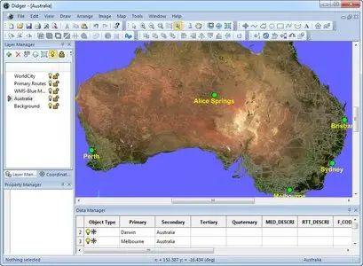
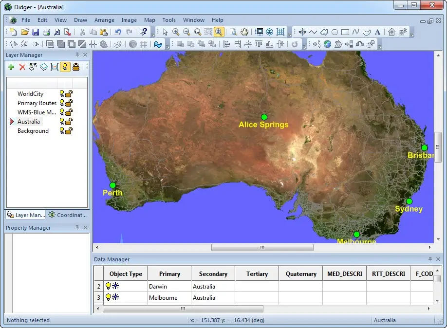
    All the advanced georeferencing, digitizing, coordinate conversion, and mapping features you need in a low-cost, unbelievably versatile program. This is the ultimate geoprocessing and data conversion tool for any map maker, cartographer, geologist, oil and gas professional, or GIS analyst.

    There has never been a more comprehensive, powerful, all-in-one data conversion software solution that provides an easy-to-use and intuitive user interface for digitizing, georeferencing, coordinate reprojection, tiling, and creating image mosaics. Didger solves the problem of combining data files in different file formats and in different coordinate systems, by providing extensive tools to transform your GIS data into one cohesive coordinate system. You can use Didger to precisely convert paper maps, graphs, aerial photographs, well logs, or any other plotted information into a versatile digital format that you can use with other software. Didger can create new maps from the ground up or edit any existing map, drawing, image, or data set imported into it.

    OS : Windows XP SP2 or higher, Vista, 7, 8 (excluding RT) or higher
    Language : English

    Home Page - http://www.goldensoftware.com

    Visit All My News

    No more mirror please!