Tags
Language
Tags
July 2025
Su Mo Tu We Th Fr Sa
29 30 1 2 3 4 5
6 7 8 9 10 11 12
13 14 15 16 17 18 19
20 21 22 23 24 25 26
27 28 29 30 31 1 2
    Attention❗ To save your time, in order to download anything on this site, you must be registered 👉 HERE. If you do not have a registration yet, it is better to do it right away. ✌

    https://sophisticatedspectra.com/article/drosia-serenity-a-modern-oasis-in-the-heart-of-larnaca.2521391.html

    DROSIA SERENITY
    A Premium Residential Project in the Heart of Drosia, Larnaca

    ONLY TWO FLATS REMAIN!

    Modern and impressive architectural design with high-quality finishes Spacious 2-bedroom apartments with two verandas and smart layouts Penthouse units with private rooftop gardens of up to 63 m² Private covered parking for each apartment Exceptionally quiet location just 5–8 minutes from the marina, Finikoudes Beach, Metropolis Mall, and city center Quick access to all major routes and the highway Boutique-style building with only 8 apartments High-spec technical features including A/C provisions, solar water heater, and photovoltaic system setup.
    Drosia Serenity is not only an architectural gem but also a highly attractive investment opportunity. Located in the desirable residential area of Drosia, Larnaca, this modern development offers 5–7% annual rental yield, making it an ideal choice for investors seeking stable and lucrative returns in Cyprus' dynamic real estate market. Feel free to check the location on Google Maps.
    Whether for living or investment, this is a rare opportunity in a strategic and desirable location.

    Arcv2CAD ver.5.0

    Posted By: gaudeamus
    Arcv2CAD ver.5.0

    Arcv2CAD ver.5.0 | 8 MB

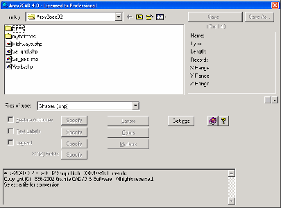
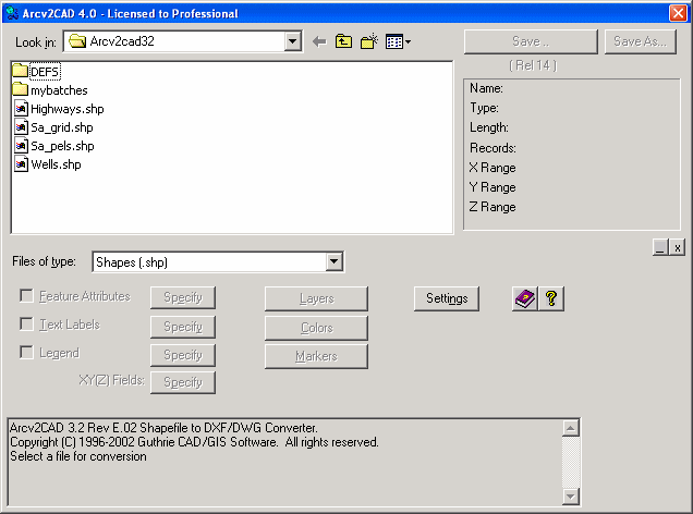
    Arcv2CAD converts ArcView / ESRI shape files to AutoCAD DXF and DWG formats. This allows shapefiles to be read by virtually all CAD software, eg AutoCAD, MicroStation, CivilCAD, DesignCAD, Visio, as well as numerous other Mapping and Graphics software, eg CorelDraw, Surfer, World Construction Set.

    Features

    Apply colors corresponding to selected Feature Attributes.
    Output entities onto Layers corresponding to Feature Attributes.
    Color fill Polygons - correctly handles holes.
    Produce Text Labels from Features data. Powerful built in Auto-Label function.
    Transfer table data via DXF/DWG ATTRIB or Extended Data (XData) definitions.
    Output Elevation data as real 3D Z coordinates.
    Command line mode for batch operation.
    Standalone converter, does not require ArcView.
    Output of a Legend
    Translate to all DXF and DWG versions up to AutoCAD Release 2008. NEW
    Support for all 3D Shapefile types (PointZ, PolylineZ, PolyGonZ, MultiPatch, etc)
    Support for Swegis TIN shapefiles
    Properties control for attributes (ATTRIBs), i.e. size, position, color, etc.
    Named Marker Blocks more…
    Extrude 2D Polygon shapes to 3D Objects. Picture
    Online context sensitive help
    Fully handles the latest 3D shapefiles.
    Compatible with all ArcGIS / ArcView versions (1.x - 9.x) NEW


    New in Version 5.0:
    Output AutoCAD 2007, 2008 DXF and DWG formats
    Output Colors and Layers using BYBLOCK and BYLAYER