

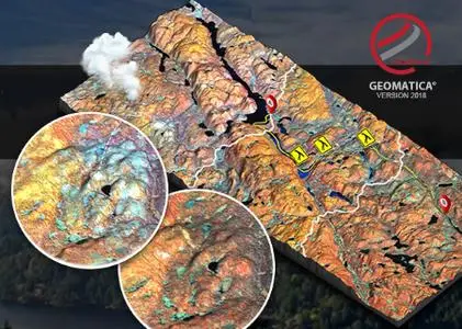
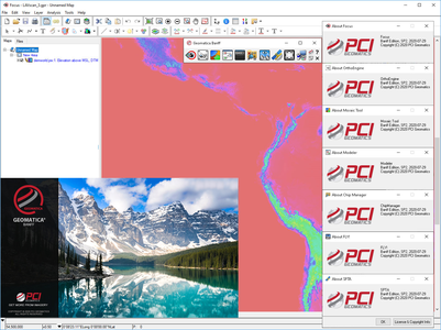
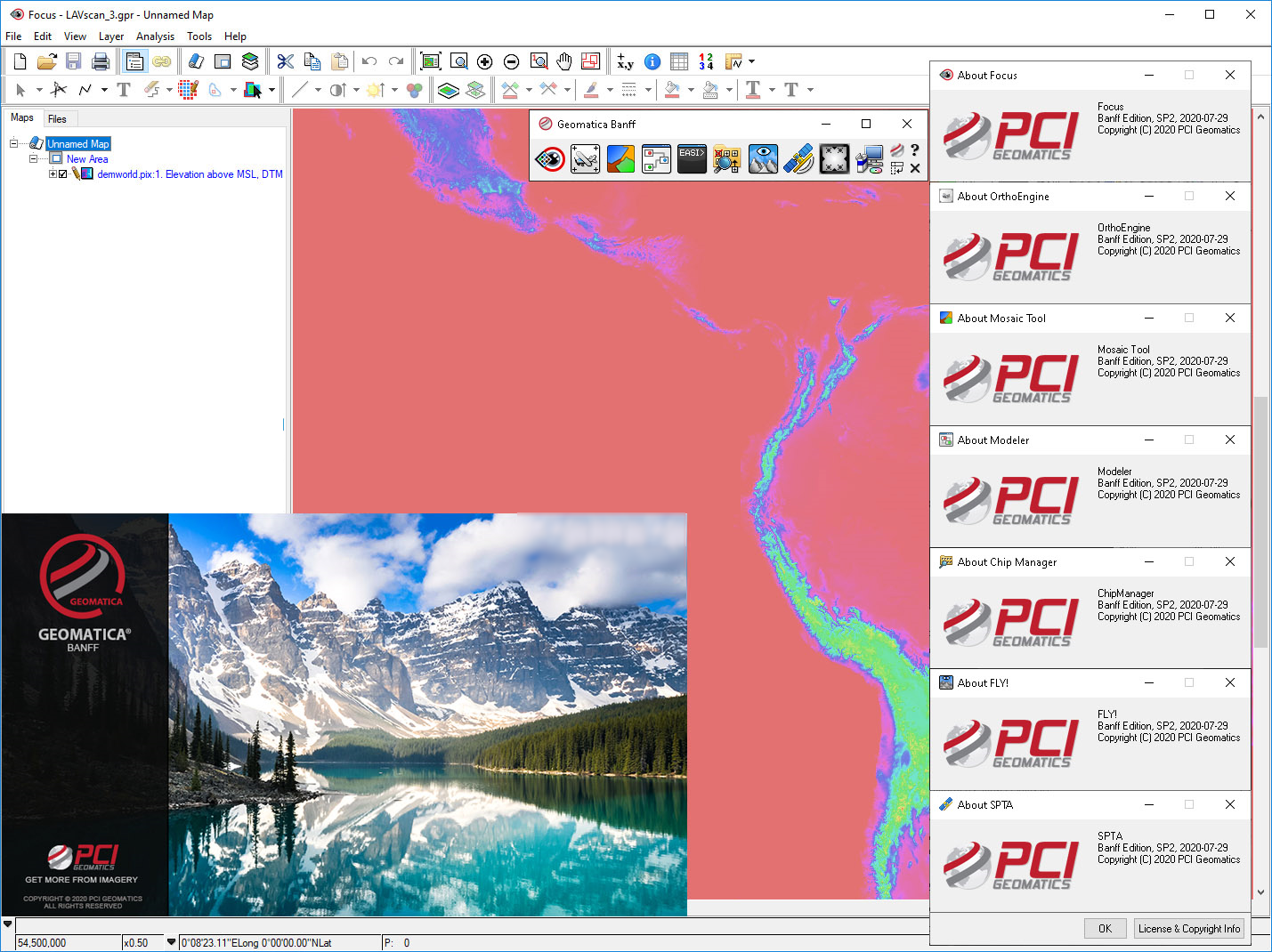
PCI Geomatica Banff 2020 SP2

PCI Geomatica Banff 2020 SP2 | 1.1 Gb
PCI Geomatics, a world-leading developer of remote sensing and photogrammetry software, announced the release of new features and enhancements in Geomatica Banff 2020 SP2.
Leading the list of new capabilities and enhancements are:
- Fast Dynamic Basemaps in Focus: Web Map Tile Service (WMTS) support added for high quality basemap / backdrop in Geomatica.
- Stable Reflector Detection for InSAR: A new function that can be used to detect stable reflectors (permanent scattering candidates).
- Spatially Varying Automatic Point Pruning: Spatially prune Groud Control Points (GCPs) to achieve a more complete coverage of image extents, withough overwhelming a particular area.
PCI Geomatica Banff 2020 SP2
PCI Geomatica features tools for remote sensing, digital photogrammetry, geospatial analysis, mosaicking, and more that can be deployed through the Geomatica desktop, Python workflows, or through large-volume-production GXL systems. The 2018 release introduces Analysis Ready Data (ARD) tools, which addresses critical requirements for performing authoritative and scientifically accurate single-image analysis and multitemporal analytics.
With the new ARD tools, customers can perform radiometric normalization and geometric alignment of large stacks of images through scalable and automated workflows. There is also support for the Committee on Earth Observation Satellites (CEOS) Open Data Cube (ODC), which provides organizations with a unique opportunity to leverage deep catalogs of historical satellite imagery to gain multi-temporal insights.
Learn about the great new technology in Geomatica 2018 and GXL 2018. The webinars begin with an overview of the new technology followed by in-depth sessions on select topics.
PCI Geomatics is a world-leading developer of software and systems for remote sensing, imagery processing, and photogrammetry. With more than 30 years of experience in the geospatial industry, PCI is recognized globally for its excellence in providing software for accurately and rapidly processing satellite and aerial imagery. There are more than 30,000 PCI licenses, in over 150 countries worldwide.
Product: PCI Geomatica
Version: Banff Edition 2020 SP2 (build 20200729)
Supported Architectures: x64
Website Home Page : www.pcigeomatics.com
Languages Supported: english
System Requirements: Windows *
Size: 1.1 Gb
system.png
Please visit my blog
Added by 3% of the overall size of the archive of information for the restoration
No mirrors please

![PCI Geomatica Banff 2020 SP2]()
Added by 3% of the overall size of the archive of information for the restoration
No mirrors please
PCI Geomatica Banff 2020 SP2
