Foundations of Geographic Information Systems (GIS)
Foundations of Geographic Information Systems (GIS)
.MKV, AVC, 960x540, 30 fps | English, AAC, 2 Ch | 59m | 732 MB
Instructor: Jennifer Harrison
.MKV, AVC, 960x540, 30 fps | English, AAC, 2 Ch | 59m | 732 MB
Instructor: Jennifer Harrison
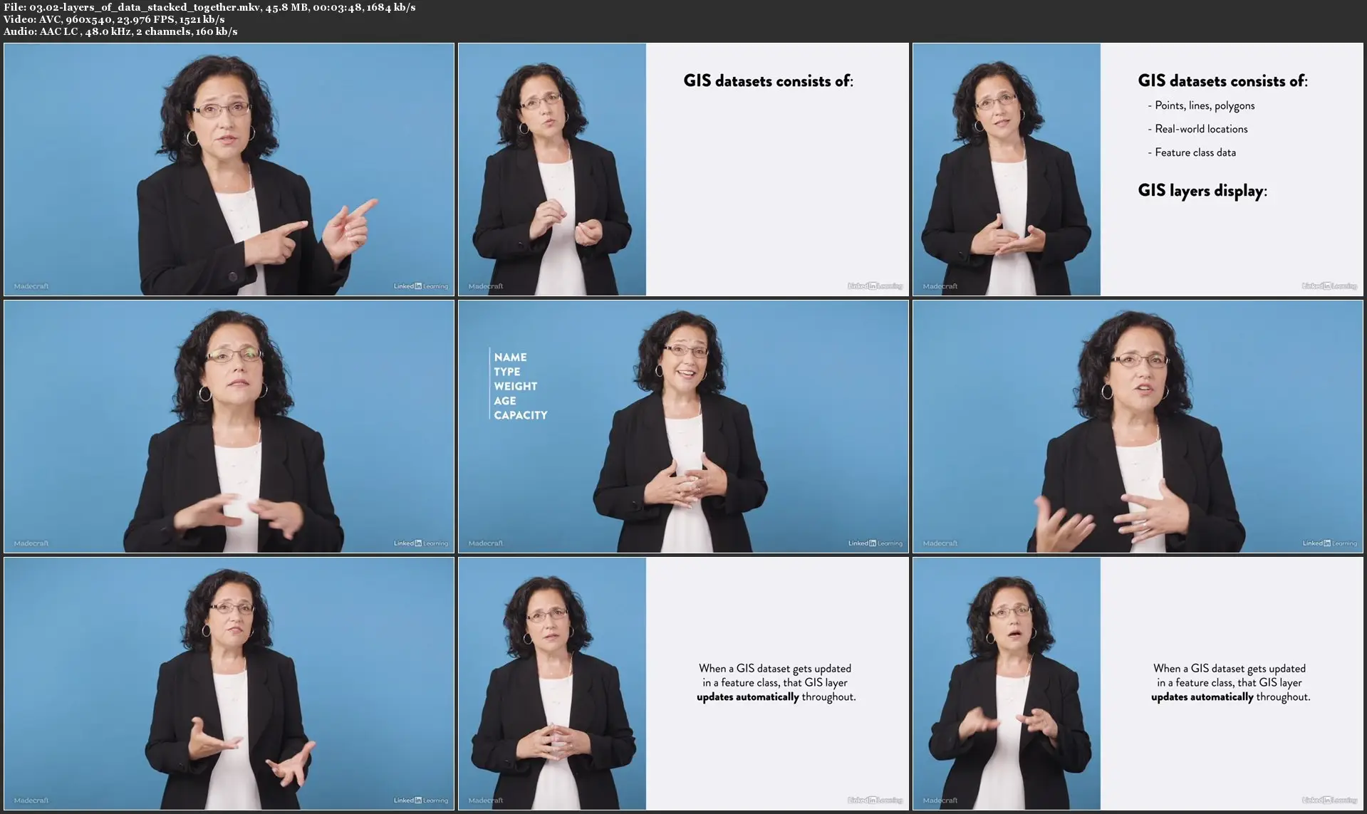
Millions of organizations around the world are using Geographic Information Systems (GIS) to make maps that communicate, perform analysis, share information, and solve challenging problems. In this course, Jennifer Harrison, President of TeachMeGIS and a consultant in the GIS field for nearly 30 years, shows you the value of using GIS to solve problems and helps you to master its intricacies. Jennifer shares how to create maps, stack layers, and evaluate spatial relationships. She explains the essential elements of a GIS and describes attribute tables and how they are used in map display and analysis. Jennifer goes over raster data, as well as lidar data and how it can be used to make a 3D model of real-world features. She also covers ways to source data and import it into GIS. Finally, Jennifer goes over enterprise and mobile versions of GIS. After this course, you'll be able to comprehend the basics of GIS, recognize its core concepts, and get started with GIS programs.

Foundations of Geographic Information Systems (GIS)