
Implementing Geolocation and Mapping with JavaScript

Implementing Geolocation and Mapping with JavaScript
.MP4, AVC, 1280x720, 30 fps | English, AAC, 2 Ch | 29m | 186 MB
Instructor: Jon Friskics
.MP4, AVC, 1280x720, 30 fps | English, AAC, 2 Ch | 29m | 186 MB
Instructor: Jon Friskics
This course will teach you how to display interactive maps and find user location from web pages.
What you'll learn
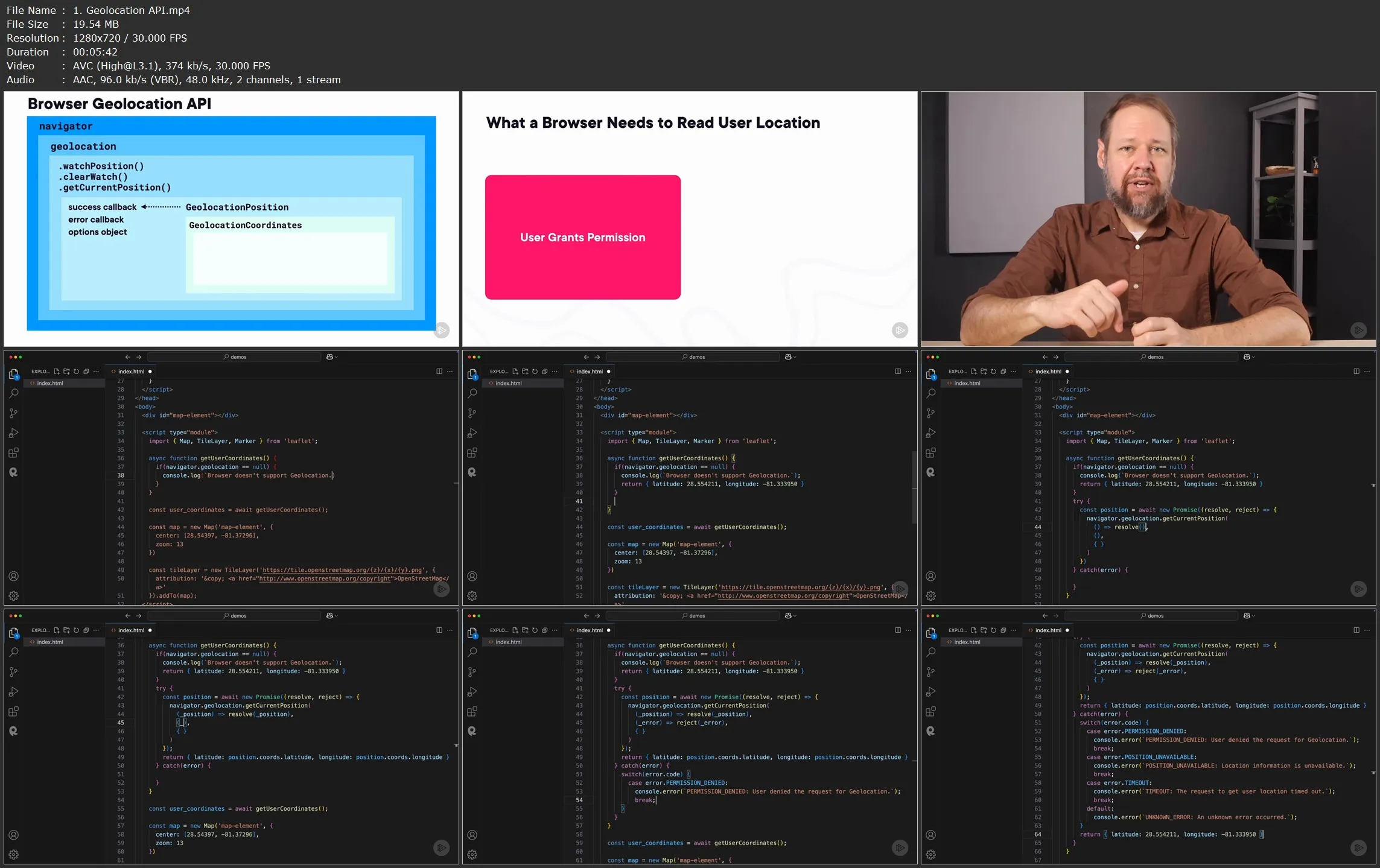
Techniques have been developed to serve up interactive map data at varying zoom levels and resolutions through a system of square tiles that represent nearly every spot on the globe - and JavaScript open source tools have been created to hide the complexity of managing the display of those tiles at scale. Modern browsers also expose APIs to request the user's location with GPS-like accuracy and turn it into a latitude and longitude value that can be plotted on a map. In this course, Implementing Geolocation and Mapping with JavaScript, you’ll learn to display interactive maps and find user location from web pages. First, you’ll explore how to embed a map on a web page using the OpenStreetMap map data set. Next, you’ll discover how to find the current user’s latitude and longitude from the navigator browser API . Finally, you’ll learn how to use geocoding and reverse geocoding to work with address data. When you’re finished with this course, you’ll have the skills and knowledge of mapping and geolocation needed to display useful, interactive maps in a web page.
Implementing Geolocation and Mapping with JavaScript