

Geopainting GPSMapEdit 2.1.78.18 Multilingual | 4 Mb
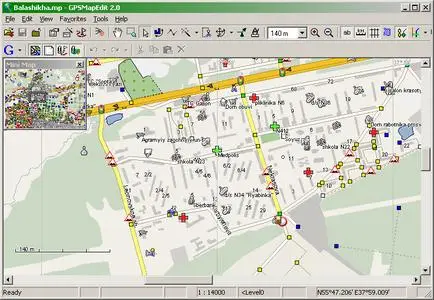
Geopainting GPSMapEdit - this software is designed for visual authoring of GPS-maps in various proprietary cartographic formats such as Garmin, Polish format, ALAN Map 500/600, Holux, Navitel Navigator. GPSMapEdit is designed to help owners of Garmin, ALAN, Holux and Navitel Navigator. GPS receivers to create own maps. The software allows to quick loading and viewing vector maps in so-called "Polish format", comparing them with different geodetic data like raster maps, GPS tracks and waypoints.