

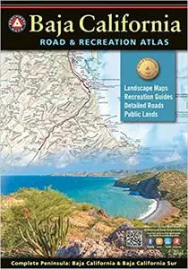
Baja California Road and Recreation Atlas

Benchmark Maps, "Baja California Road and Recreation Atlas"
English | 2021 | ISBN: 1734315059 | 72 pages | PDF | 96.2 MB
English | 2021 | ISBN: 1734315059 | 72 pages | PDF | 96.2 MB
Since 1995, Benchmark Maps has been driving and mapping the American West, publishing award-winning recreation maps and atlases. The first edition Baja California Road & Recreation Atlas showcases the diverse recreation opportunities found along the full length of the Baja California Peninsula. State maps illustrate and describe both states, Baja California & Baja California Sur. Regional maps provide a wider view of the region and Recreation Guides list an array of attractions for trip planning. Landscape Maps™ provide the most detail, bringing the peninsula’s rugged terrain into focus with land cover data, shaded relief, and a detailed road network to aid travelers navigating between cities or seeking remote destinations.
Landscape Maps™ • Large scale maps with detailed road classifications, points-of-interest, landmarks, elevations • Kilometer markers on major highways • Page-to-page map overlap, clear legibility • National Parks and Wildlife Areas
Recreation Guides • Regional maps at medium scale illustrate broader views and longer routes • Focused maps & listings for La Paz, Los Cabos Corridor, and wineries of Valle de Guadalupe • Recreation categories include: o Parks, Monuments, Natural Wonders o Boating & Fishing Access, Beaches o Historic Missions & Ruins o Campgrounds & RV Parks